
FCA: one in seven English mortgages tied to postcodes with flood risk
The regulator's analysis of public data indicates that high exposure to surface water flooding is concentrated in and around London.

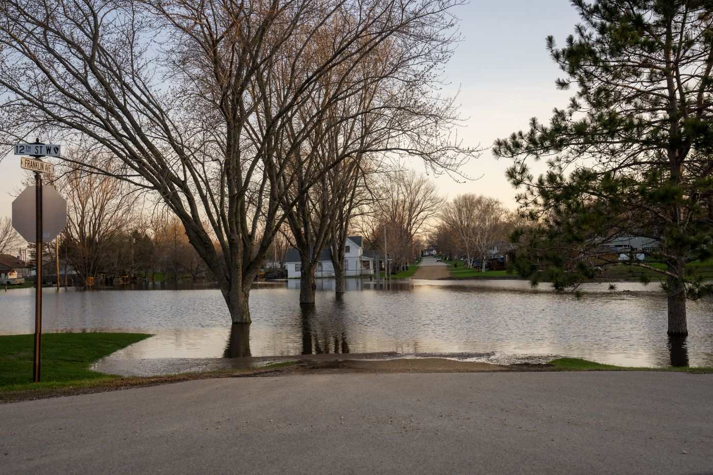
The Financial Conduct Authority (FCA) has published research on flood risk and mortgages in England. It found that about one in seven mortgage contracts relate to postcodes with some degree of flood risk.
The analysis indicated that the highest exposure to surface water flooding is concentrated in and around London. For flooding from rivers and the sea, exposure is greatest in Lincolnshire and East Yorkshire, where many postcodes are rated medium or high risk.
The FCA said that mapping where exposure sits could show where climate-related risks might hit consumers and mortgage lending hardest if flooding becomes more common or severe.
The regulator described the work as a "high-level view of exposure" based on publicly available data. It said the findings should not be read as an assessment of individual properties, firms or consumer outcomes. The research used postcodes rather than single homes, and the FCA said it supports an understanding of overall exposure and regional patterns only.
Richard Pinch, senior director at consultancy Broadstone, said flood risk can bring higher insurance premiums, lower property values and difficulty remortgaging or selling. He said that in the worst cases households could be "trapped in properties that are increasingly difficult to insure or finance".
Pinch also said flood risk threatens property valuations and could reduce the value of the security behind lenders' loans. He said lenders could face greater credit losses across their mortgage portfolios as extreme weather becomes more severe.